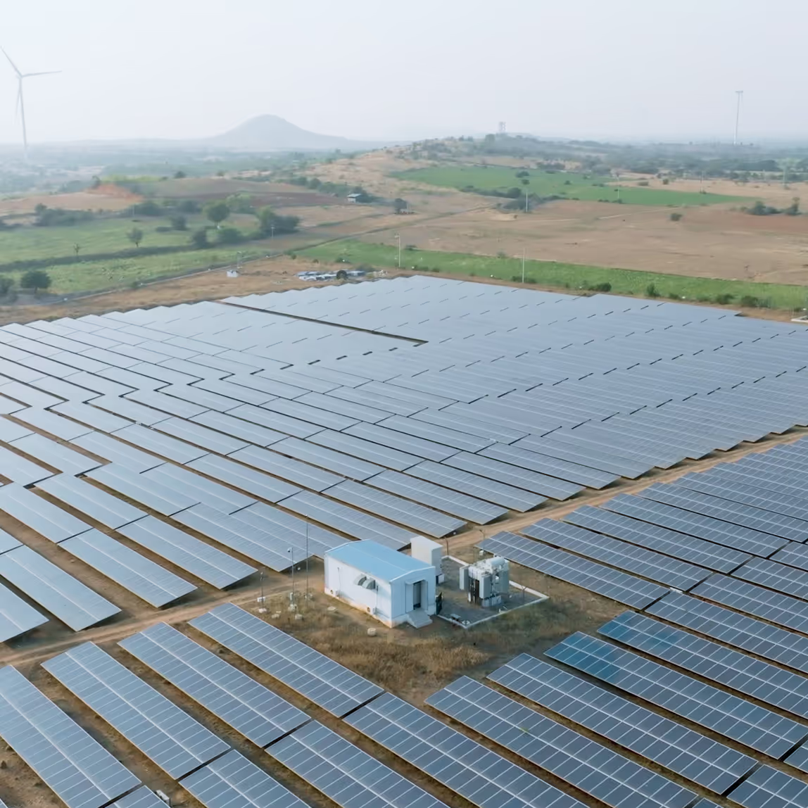
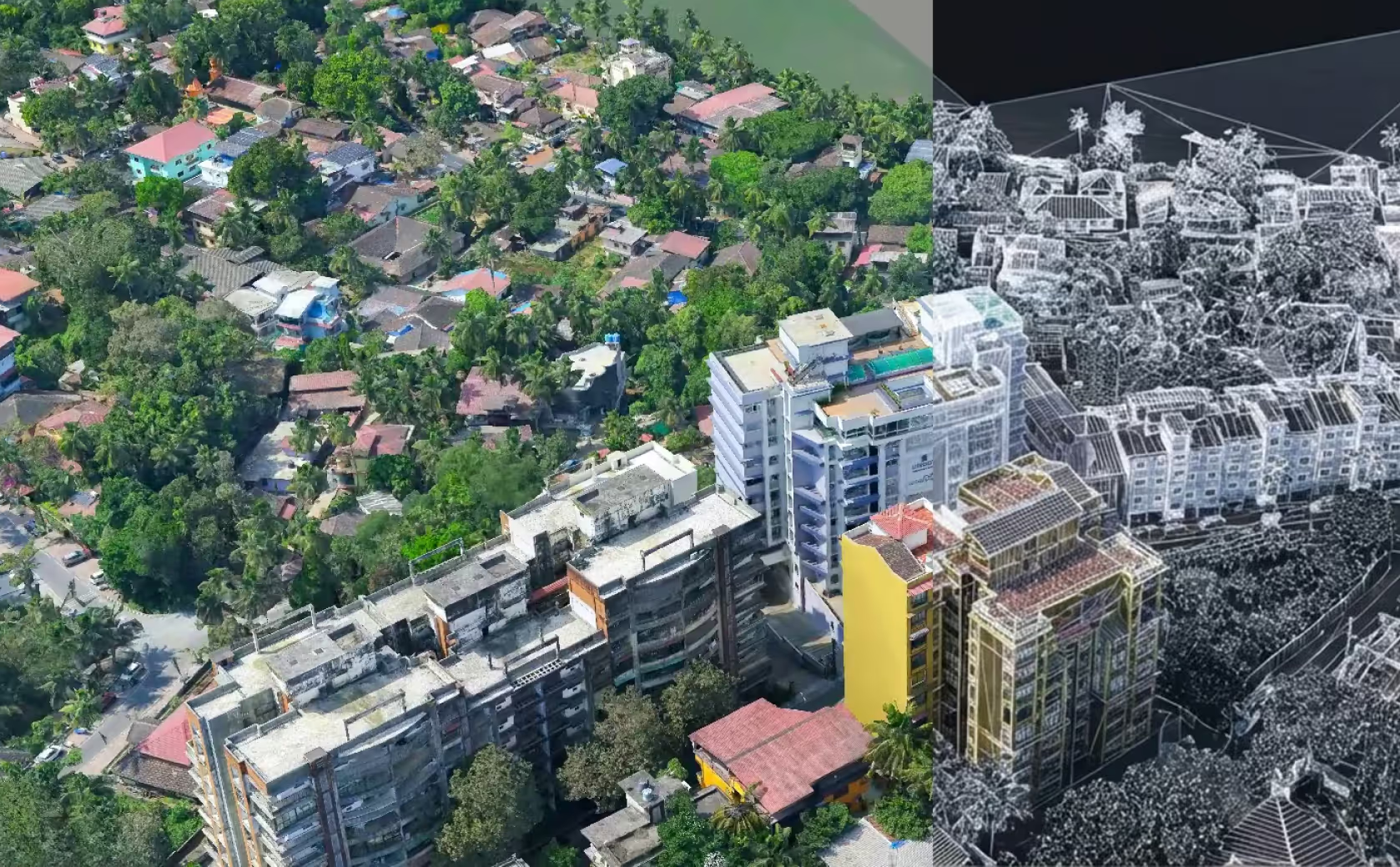
Projects are only as accurate as the field data they are built on. Guided by this principle, Aarvee has always maintained strong in-house capabilities in surveying and land mapping, ensuring direct control over data quality and seamless integration with engineering design. Over time, our geospatial practice has evolved from conventional surveying methods to advanced technologies, including LiDAR, aerial mapping, and drone-based data acquisition.
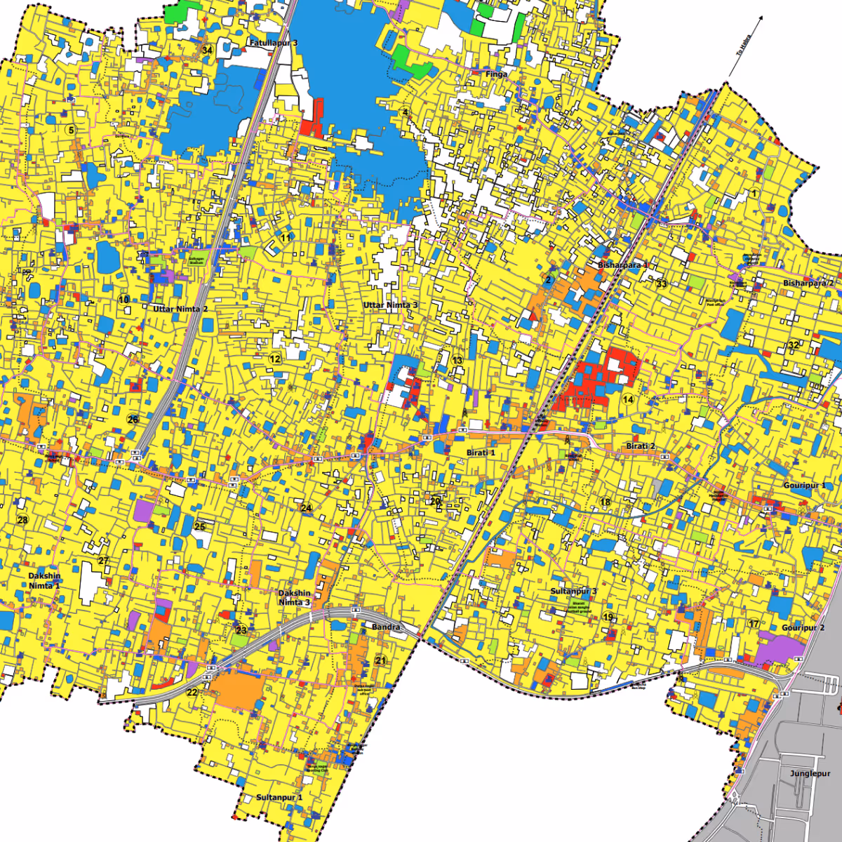
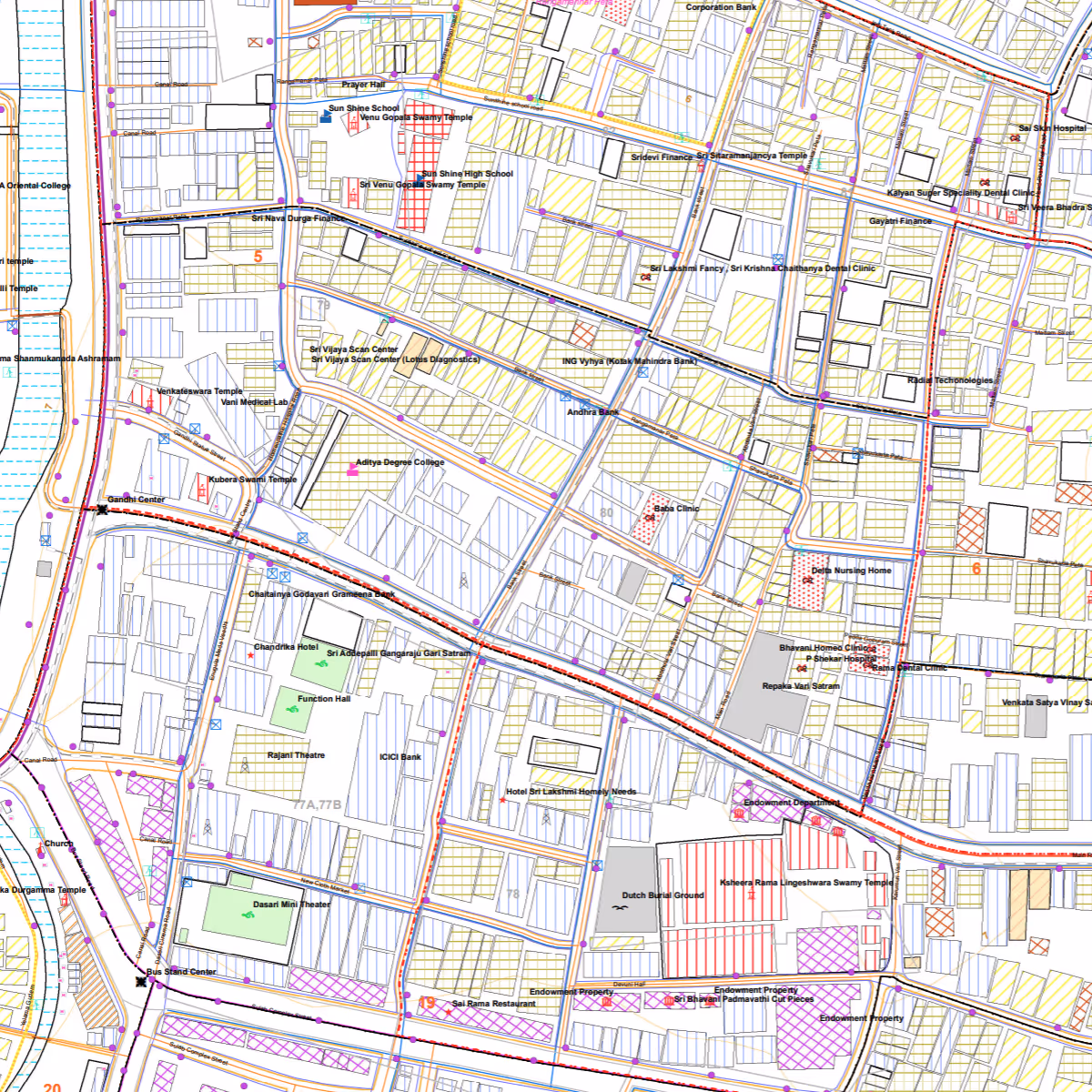
Beyond data collection, Aarvee manages and processes large volumes of geospatial data to generate terrain models, utility maps, land-use datasets, and spatial databases that support infrastructure planning and development. Our capabilities also include GIS platforms, Web GIS applications, and large-scale spatial systems that enable clients to visualise assets, monitor performance, and make informed decisions across infrastructure programs.
.png)
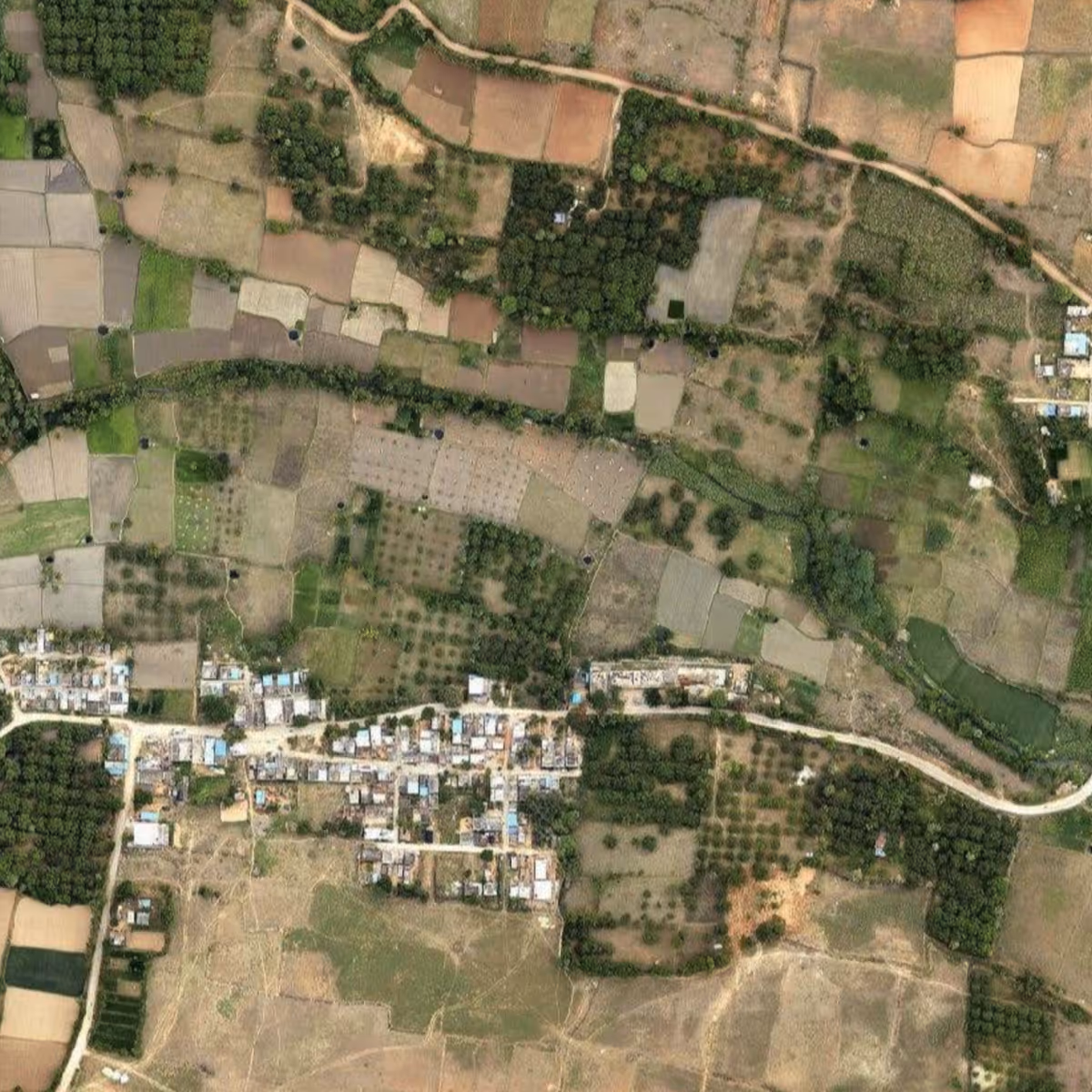
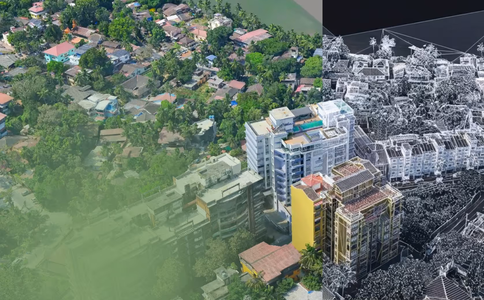
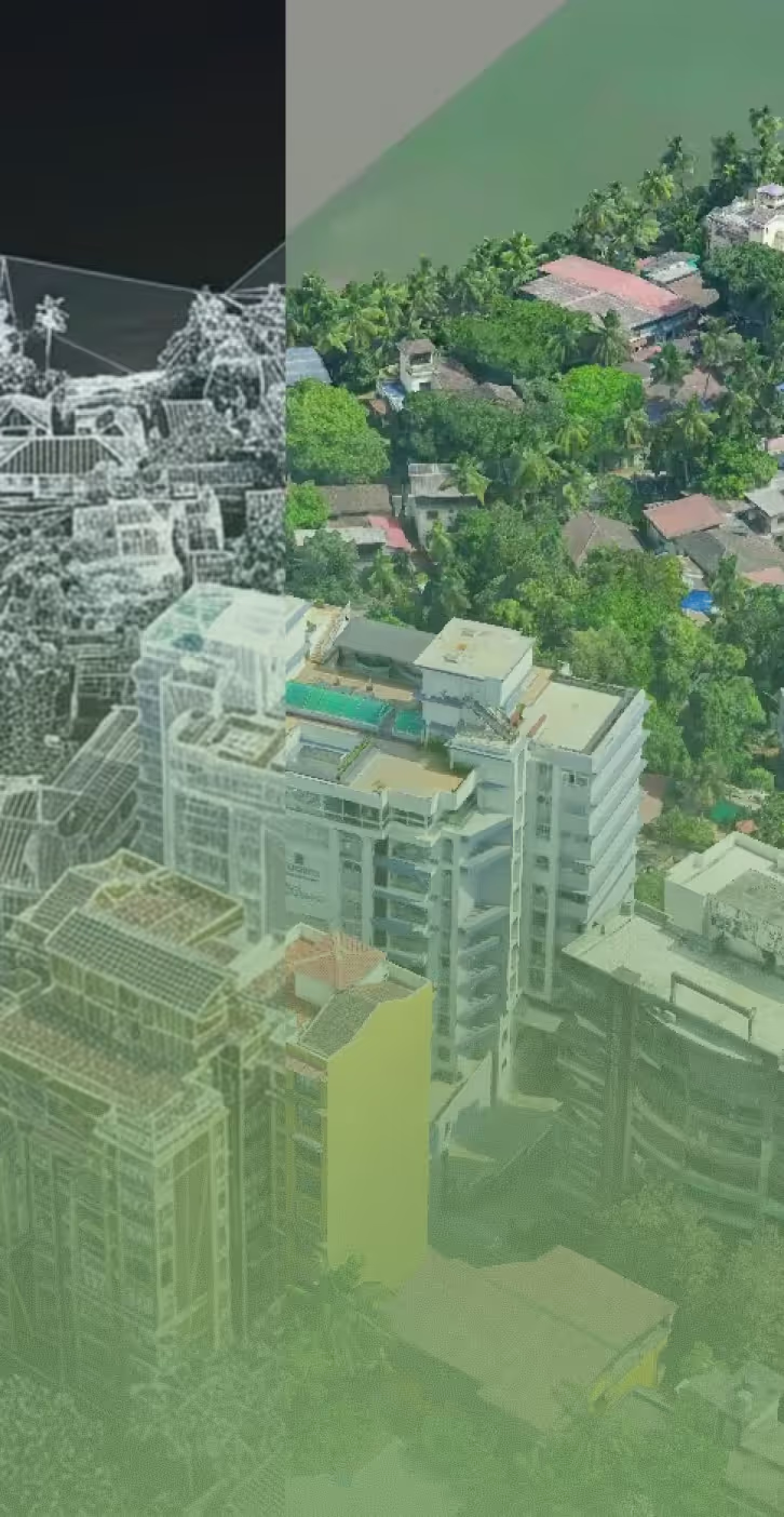
Infrastructure projects require accurate spatial data across large geographies, often under complex terrain and urban constraints. Aarvee addresses this through integrated capabilities spanning data acquisition, processing, and spatial analytics, closely aligned with engineering applications.
Our technical depth in geospatial, combined with organisation-wide engineering expertise, allows us to plan data acquisition and processing more efficiently — often extracting additional intelligence that significantly improves downstream design quality and project outcomes. We also collaborate with equipment partners to develop fit-for-purpose solutions that enhance both accuracy and productivity at scale.
Similarly, the enterprise geospatial and asset management platforms we develop provide deeper insights because they are informed by our multidisciplinary infrastructure expertise. This enables decision-support systems that are not only data-rich, but operationally relevant across the infrastructure lifecycle — from planning to asset management.


.avif)